
General Description
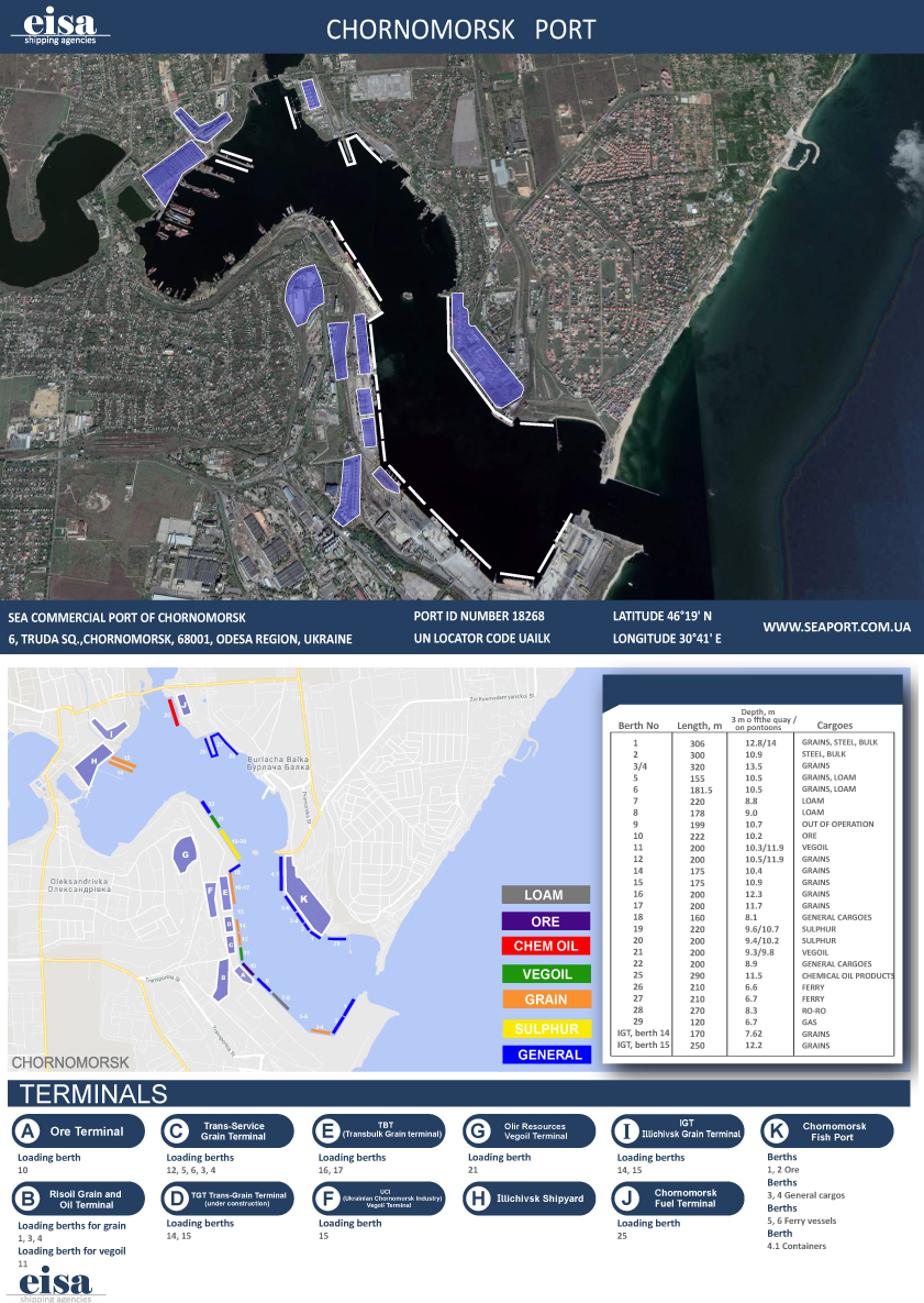
| UN/LOCODE: | UAILK |
| Coordinates: | 46°19’N / 30°41’E |
| B.A. Nautical Chart No: | 2243 |
| Admiralty Sailing Directions: | NP24 |
| Time zone: | UTC +2 (UTC +3 during Daylight saving time) |
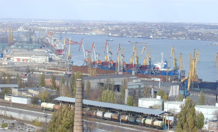
Port complex comprises of:
- Container terminal
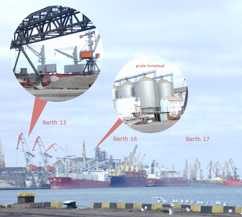
- Grain terminal
- Sulphur terminal
- Vegetable Oils Transshipment Complex
- Ferry Terminal
It consists of 2 basins, water depth varying between 6,7 and 14,5 meters, about 6,0 kms of quay and 29 berths (see table below with details).
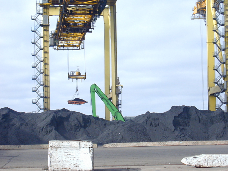
The port has specialized terminals for coal, iron ore, general cargo and petroleum products.
Anchorage Areas
One anchorage area (No. 351) with depth 19 m.
Port Restrictions
- Official entering/exiting channel’s draft, declared by Harbor Master, is 14,5 m
- Density of water in harbor is 1,007-1,013 (at summer time 1,010)
- LOA restrictions – 275 m (300 m in individual cases on Harbor Master’s permit)
Tide
Port is not tidal, but level of sea water can be changed up to 0,5 m, subject to wind direction.
Weather Restrictions
The port is open for navigation all year round, but with ice-breaker assistance in severe winters for about 30 days of the year (between December and March). When ice breaker assistance is required, Harbor Master declares Ice Campaign.
Working Hours
Port operates 24/7, all year round.
Services
- Bunkering
- Fresh water supply
- Crew changes
- Repairs
- Provisions & stores supply
- CTM
- Holds cleaning
- Diving inspection
Ballast Waters Requirements
According to MARPOL and State Environmental Inspectorate of Ukraine Regulations, all ballast should be changed in Black Sea before arrival at deep part of Black Sea and outside of exclusive economic zone of Ukraine. The exchange must be recorded in ships’ official logs. Subject to appropriate request prior to arrival, the Master has to declare to Agent quantity of ballast water that he intends to discharge in harbor for the cargo operation.
Maximum permissible concentration of main pollutants in internal sea waters and territorial waters of Ukraine:
- Suspended solids, mg/cu. Dm – 2,0
- Salinity, g/cu. dm – 18
- Oil, mg/cu. – 0.05 dm
- Iron, mg/cu. dm – 0.05 dm
Maps
Photos